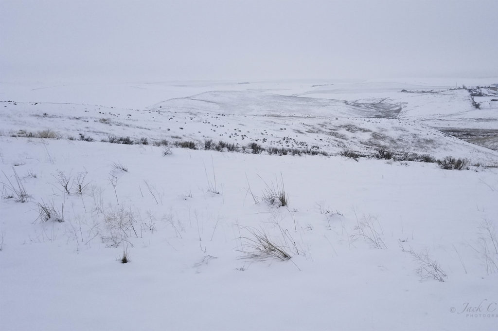
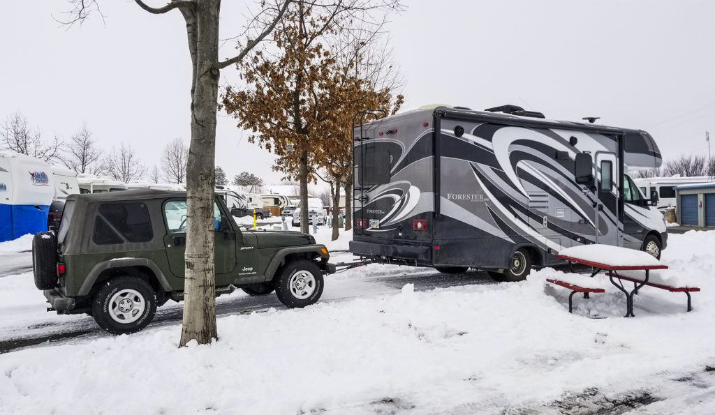
The first thing this morning was letting Annie out to do her business and I saw that the view was the same as last night, i.e. a bleak, cold white in which the horizon blended with the sky Naturally, as I’m prone to do, I took a photo. I also took a photo of my rig and the park.
Then, back in the RV while getting ready for the day, I decided to call a local RV dealer to arrange an appointment for repairs. Oops! It’s Saturday and no one at work in the service department. A fellow in the parts department suggested I stop by and buy a new cover, assuming he had one in stock. But he wanted a photo of the damaged cover to see if he had a replacement in stock. What? Now I have to crawl on top of the rig to take photos. I did.
Just as I was about to climb upon the roof, the fellow parked next to me came out to ready his rig for leaving. I asked, “Would you mind standing by for a moment. I need to climb up on my rig to fix a problem. In case I fall, please call 911.” He obliged.
I took photos and then taped the cracks and decided I would drive that way and do the repair in Yuma. Oh, and then I went forward on the roof and tossed down the pine bough that also had fallen on the roof.
A 53-mile section of today’s drive along I-84 was the most critical section of my 1300-mile drive to Yuma. I planned my entire six-day trip from beginning to end around the 10-day weather forecast for this one-hour drive of the trip. I wanted to make sure the highway would be bare and dry to reduce any chance of an accident caused by snow and ice.
The section is the drive from Pendleton, OR over the Blue Mountains of Northeast Oregon to La Grande, OR. From an elevation of 1,200 feet at Pendleton, the highway climbs to Deadman Pass (also known as Cabbage Hill or Emigrant Hill) at an elevation of 3,631 feet and then steeply descends 2,000 feet of double–hairpin turns to La Grande and beyond.
I finally pulled out at 11:18 after having been considerably delayed due to handling the cracked vent cover. I now was well on my way.
Back on the highway I’m looking at a lot of whiteness and I’m about to climb more than 2,000 feet into that white nothingness.
I soon saw a road sign warning “Visibility less than 500 feet.” Great! A heavy, dense fog blended into the stark white landscape.
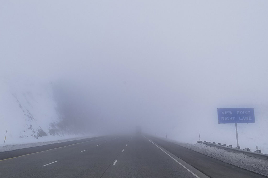
Occasionally, I could make out the dark form of a semi in the right hand lane. I started following it, and then passed it. If I stay in the right hand lane and just keep far enough in front of the semi, that truck will prevent me from being rear ended. On the other hand, staring into the white nothingness causes the eyes, the imagination and maybe the mind to play tricks making one think there is an object up ahead when there is none. My remedy was to continually shift my vision to the right, left, up, down, or anywhere to keep from seeing something that is not there.
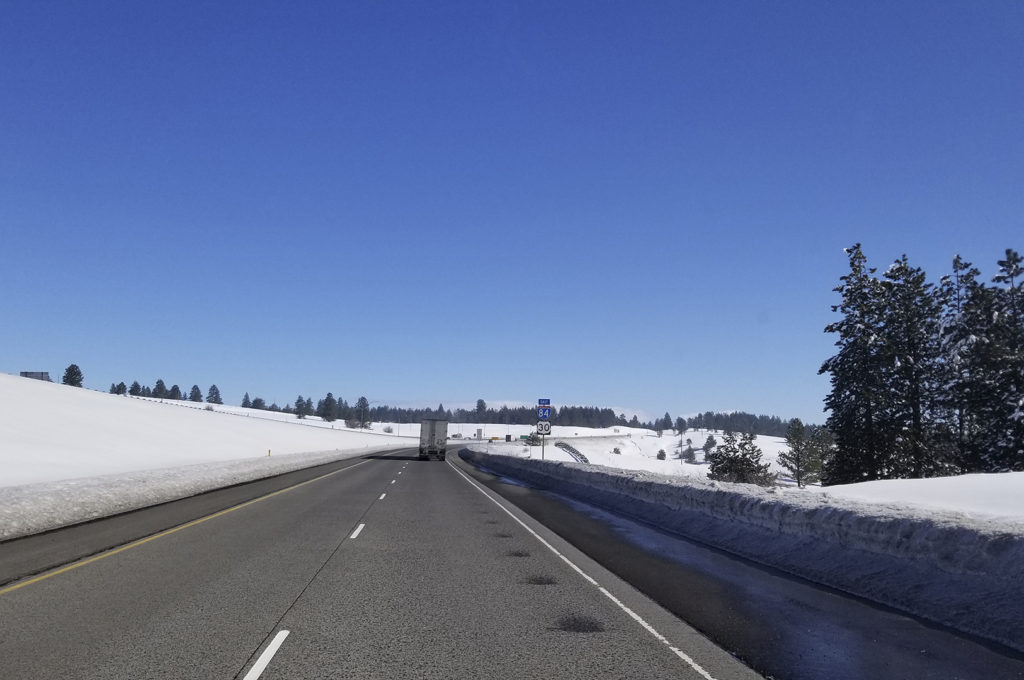
Finally I broke out of the fog and instantly was in blazing sunshine. The time between the foggy photo and the sunny photo was only three minutes. And what a view it was!
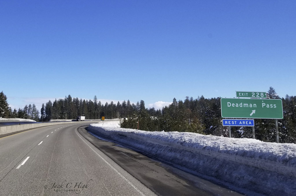
My next challenge was crossing Deadman Pass and navigating the steep decent of double hairpin turns to where the highway almost flattens out. Sometimes the ups and downs were a challenge as I tried to maintain a reasonable and safe speed while moving in and out among big rig semi’s who roared down the steep grades at maximum speed.
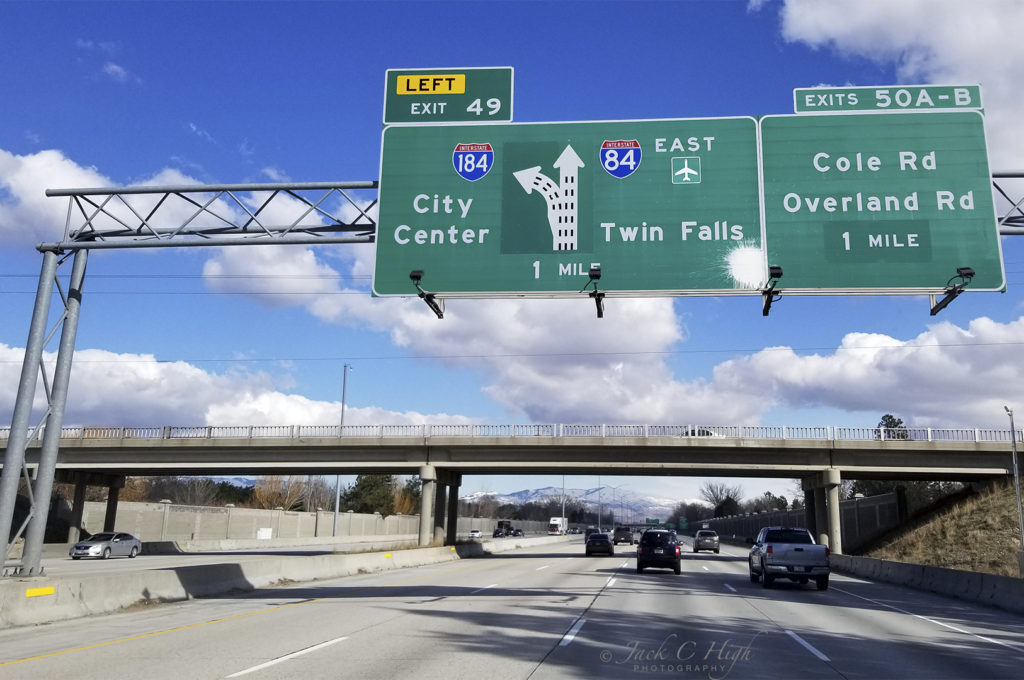
From La Grande, the drive was very pleasant and enjoyable all the way to Twin Falls, Idaho.
Trip Data
Departure Date: 3/2/19
Depart Location: Pendleton, OR
Arrive Location: Twin Falls, ID
Time of Departure: 11:18 Hours
Time of Arrival: 18:32 Hours
Vehicle Odometer Start: 20,565
Vehicle Odometer End: 20,920
Trip Odometer: 355
Moving Time: Hours = 05:56
Stopped Time: Hours = 0:1:19
Maximum Speed: 77.5 mph
Moving Average: 59.7mph
Overall Average: 48.8 mph
Elevation: 3,809
Odometer: 354.86
Total Ascent: 12,466 feet
Maximum Elevation: 4,308 feet
Latitude: N 42, 33.269
Longitude: W 114, 34.380