- Flathead Valley, Montana to Yuma, Arizona
- Day 2 of 5
- January 1, 2021
Twin Falls, Idaho Is my next stop and I’m both reluctant and also eager to be on the road. Happily, the weather is holding and I awoke to sunny skies with no hint of snow.
The first thing I did this morning was to check the weather forecast. The forecast still called for less than 1-inch of snow in Idaho Falls, Pocatello, and Twin Falls. No change for the next three days.
Last night was cold and I used my furnace as well as my space heaters to keep my coach warm. I slept well enough and woke at a decent hour. My first thought was to fill my onboard propane tank.
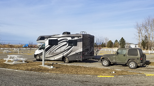
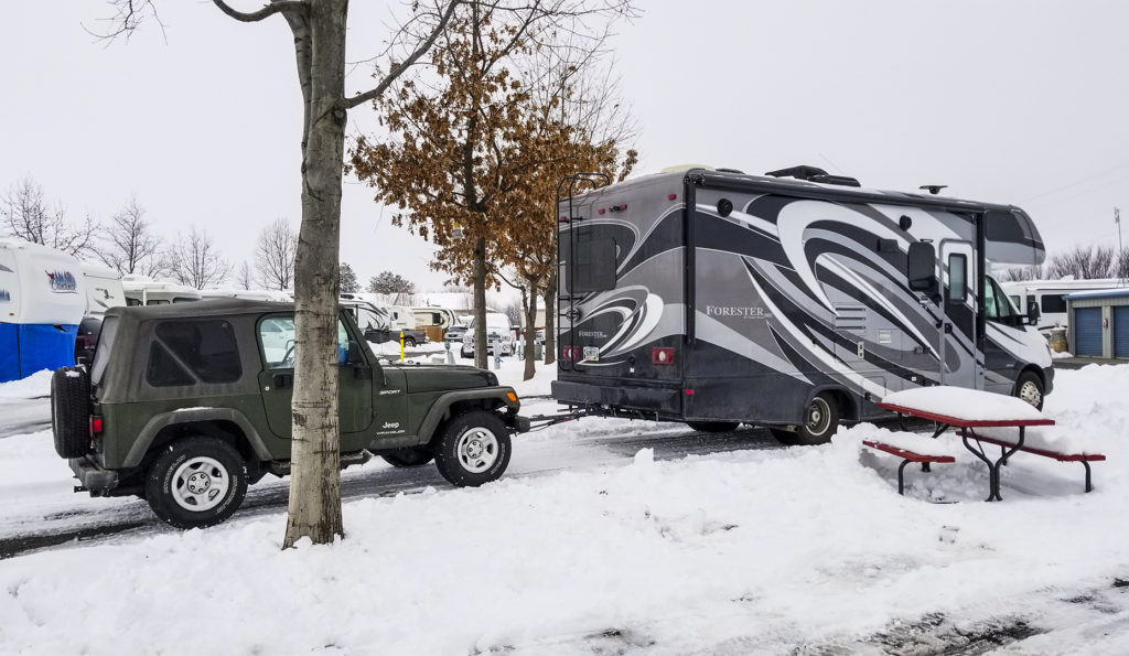
After a quick breakfast, I unhooked my electrical line and stowed it. Last night I didn’t bother with hooking up to city water or even to the sewer system. So there wasn’t much to do to prepare for the day’s drive to Twin Falls, Idaho other than stowing stuff in the coach so as not to break anything.
I’m reluctant to leave Dillon because the area is rich with early American history. Much of that history has to do with the Lewis and Clark Expedition. After their journey up the Jefferson and Beaverhead Rivers, members of the expedition arrived in the greater Dillon area early in August 1805. A notable landmark, for example, is Beaverhead Rock, now a state park. The rock is located about 12 miles southwest of the town of Twin Bridges on Montana Highway 41 and about 14 miles northeast of Dillon. When Sacajawea saw the rock she knew she was near the area where her Shoshone tribe spent its summers.
Twin Falls is 286 miles Ahead
As much as I would like to spend a few days here exploring the area, it’s time to move on. Today’s drive to Twin Falls, Idaho is a distance of 286 miles which should take four hours and 36 minutes according to Google Maps.
In Need of Propane
I walked over to the office and checked out. I also asked for propane, which the park didn’t have. But I did fill my fresh water tank. Soon, I was driving out of the park and heading for a service station.
10:05 AM: The first service station I found was a CENEX located at 700 North Montana St. Phone: 406-683-2308. The station is operated by Rocky Mountain Supply, which also has stores in Belgrade, Townsend and Ennis, Montana. The stores are like big mercantile or ranch and farm stores. Each store offers a full line of energy products such as gasoline, diesel fuel, and lubricants as well as a full line of crop nutrient and crop protection products, seed, field application of crop nutrients. The stores also sell hardware, livestock equipment, animal health products, feed supplements, pet supplies, western wear clothing and boots, sporting goods, convenience store items and other products and services too numerous to mention.
New Year’s Day Not Good for Traveling
I wanted propane, but the office was closed as it was New Year’s Day and no one was on hand to service customers. So there was no propane. But I did fill up with diesel fuel. I bought 12.203 gallons at $2.499 per gallon for a total of $30.50. I had driven 124 miles since filling up the night before in Drummond, Montana and my mileage was only 10.2 miles per gallon on that tank.
The Area is Rich in Lewis and Clark History
Having refueled my motor home, it was time to be on the road again toward Twin Falls, Idaho. At the same time I’m aware that I’m in an area that is rich with Lewis and Clark landmarks and history. I will be passing several of these landmarks today.
One of these landmarks is the Beaverhead Canyon Gateway. This gap in the mountains was spotted by Clark from a spot known as “Clark’s Lookout”, or, “Surveyor’s Station.” The “Gateway” was yet another 10 miles in front of him and his party. The “Gateway” canyon reportedly averages 600 feet in depth and extends seven river miles south to another unnamed portal formed by Pipeorgan Rock. I don’t have time to visit these historic landmarks today. But I will be back another time to leisurely explore them.
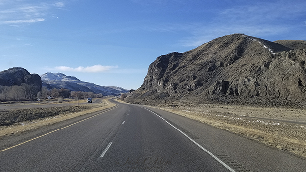
These rocks on the right likely are the Rattle Snake Cliffs cited by Lewis on August 10, 1805 in his journal for that date. This is about the point that Lewis with Drewyer and Shields left the Beaverhead River and hiked up Horse Prairie Creek toward what we know today as Lemhi Pass. Clark and the rest of the expedition were pulling their canoes up the Beaverhead River about five days behind Lewis.
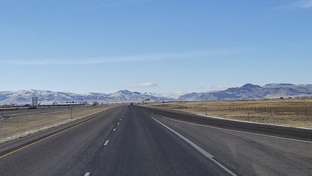
Once through the gap it’s just a short distance to The Clark Canyon Reservoir and Recreation Area off to the right. On this day, the reservoir was solidly frozen over and there were quite a few fishing shanties on the ice. They were occupied by virtue of the large number of vehicles parked along the shore. The Clark Canyon Reservoir now covers the land and streams where Lewis set out to explore Horse Prairie Creek, the major tributary flowing into the Beaverhead River. Horse Prairie Creek descends from Lemhi Pass where the Lewis and Clark Expedition first encountered the Shoshone tribe and Sacagawea’s relatives.
On To Twin Falls, Idaho

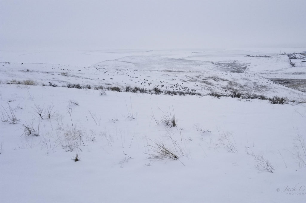
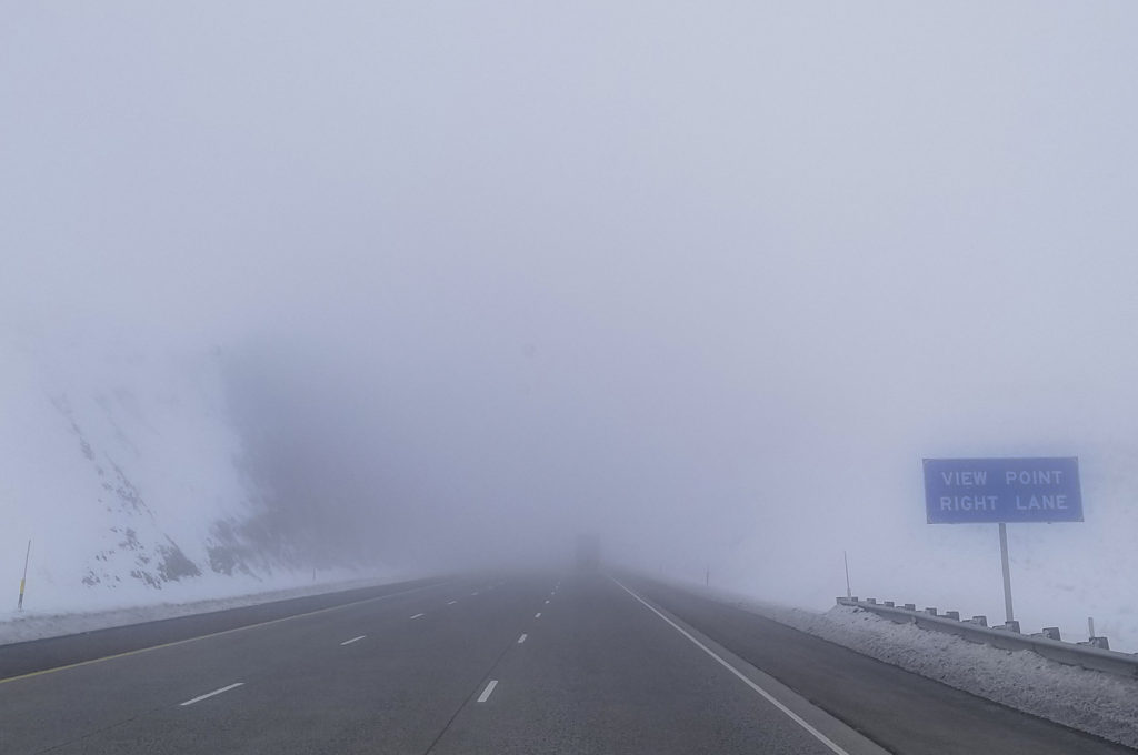
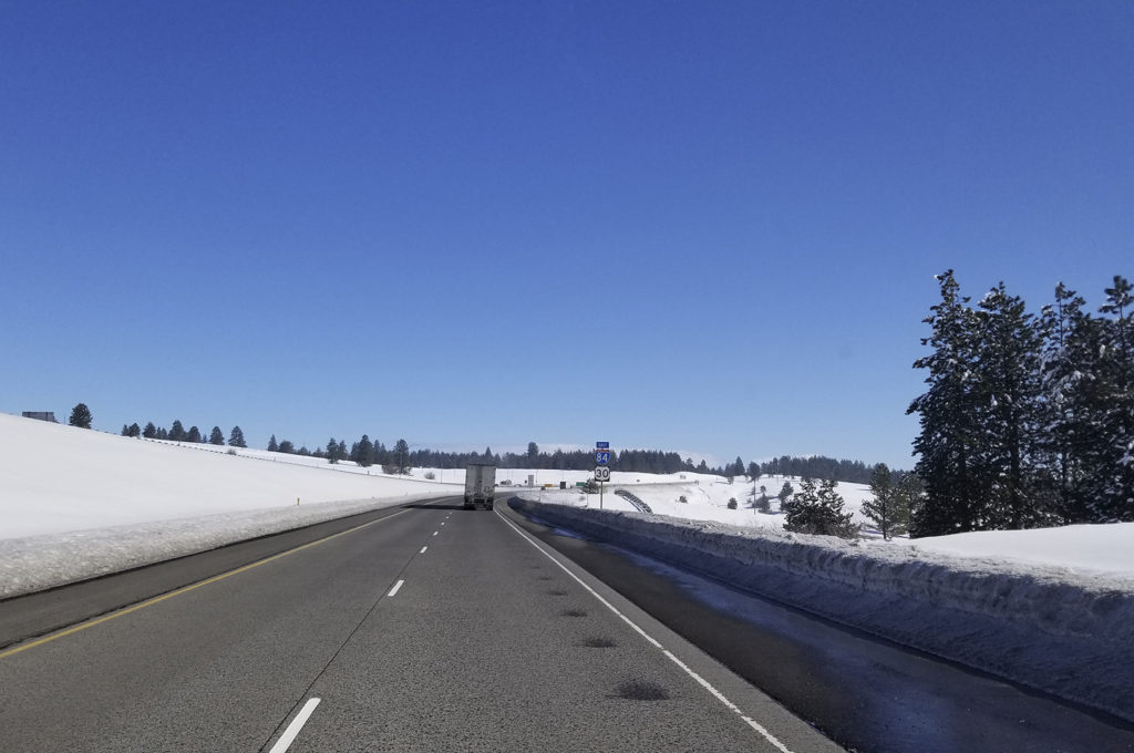
Beyond Clark Canon Reservoir, I-15 continues south and it’s a fairly short distance to Monida Pass at an elevation of 6,870 feet, 2,094 meters. As I cross the pass shortly after the noon hour, my dashboard display is showing an outside temperature of 19 degrees. The sky is overcast and snow lies either side of I-15, but the highway is clear. Monida Pass is at the border of Montana and Idaho. The name of the pass takes the first three letters of “Montana” and the first three letters of “Idaho” and thus is Monida Pass.
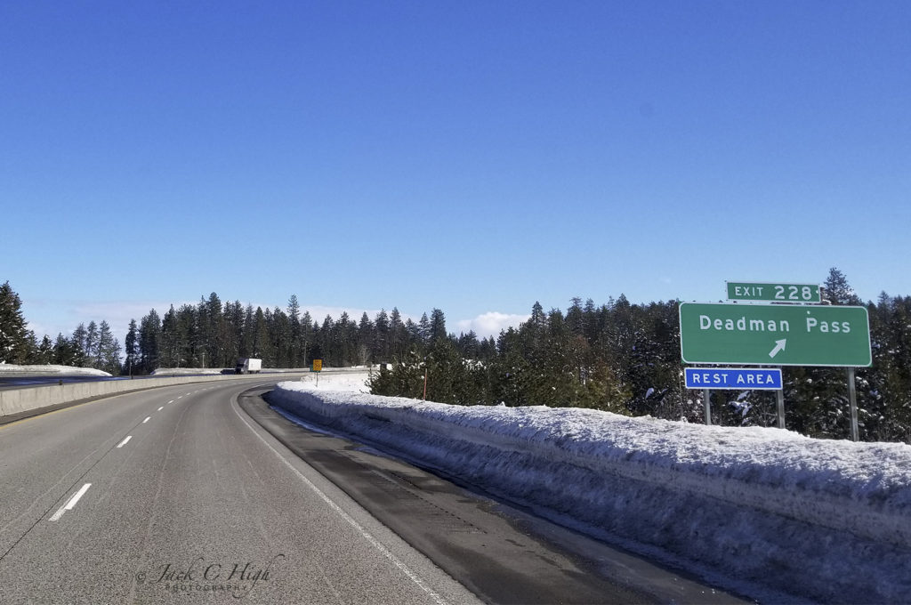
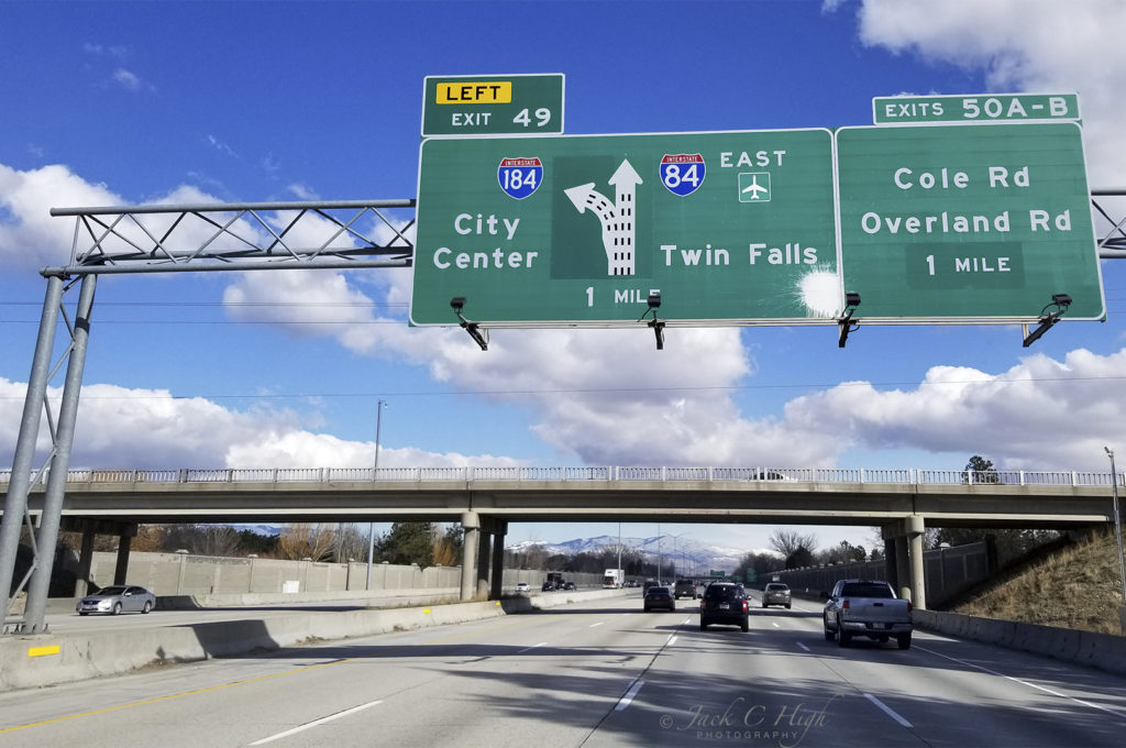
By the time I reach Exit 72 and follow I-86 West toward Twin Falls, Idaho, there is no more snow and the highway continues to be bare and dry. I exit off I-86 and cross the Snake River into Twin Falls around 3:00 PM and stop at a service station to fill up with diesel fuel. I pull into a Maverik station at 883 Blue Lakes Boulevard. There I buy 14742 gallons of diesel at $2.639 per gallon for a total of $48.90. I had driven 163 miles since my prior fill up in Idaho Falls, ID and gotten 11.1 miles per gallon on that tank.
After filling up I continue on to the Twin Falls 93 RV Park at 2404 E. 3830 N, Filer, ID 83328. Phone: 208-326-5092. The park is located on US 93 a half mile south of the Highway 30/Highway 93 Junction in Twin Falls. I check in and hook up for the night.